


To understand how a driverless forklift (AGV/AMR) operates, it is best to view it not as a vehicle, but as a mobile computer that perceives space through sensor fusion. Unlike manual forklifts, these systems rely on a continuous loop of Perception, Localization, and Path Planning.
Here is a technical breakdown of how the navigation system works at a professional industrial level.
1. The Core Technology: SLAM (Simultaneous Localization and Mapping)
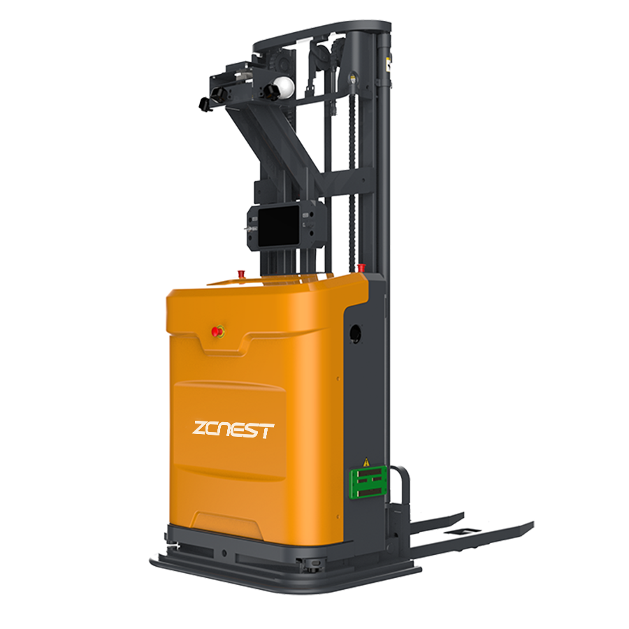
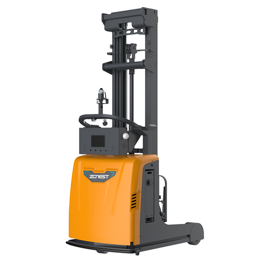
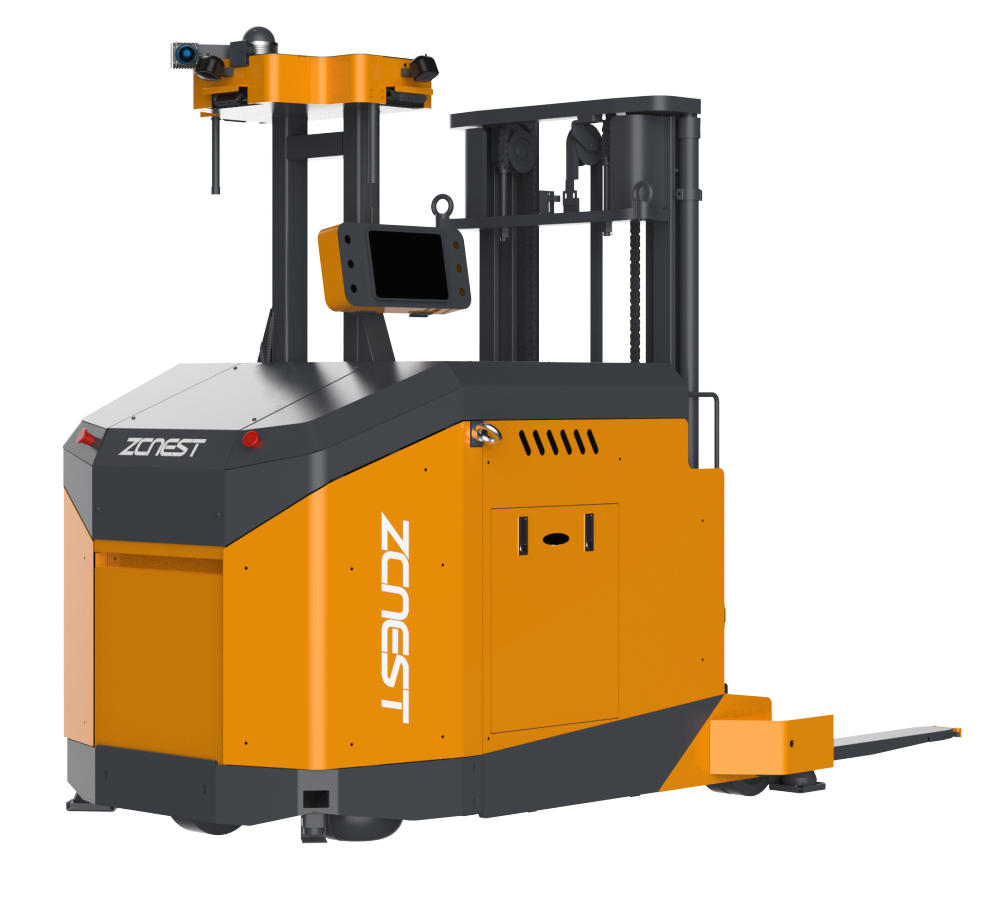
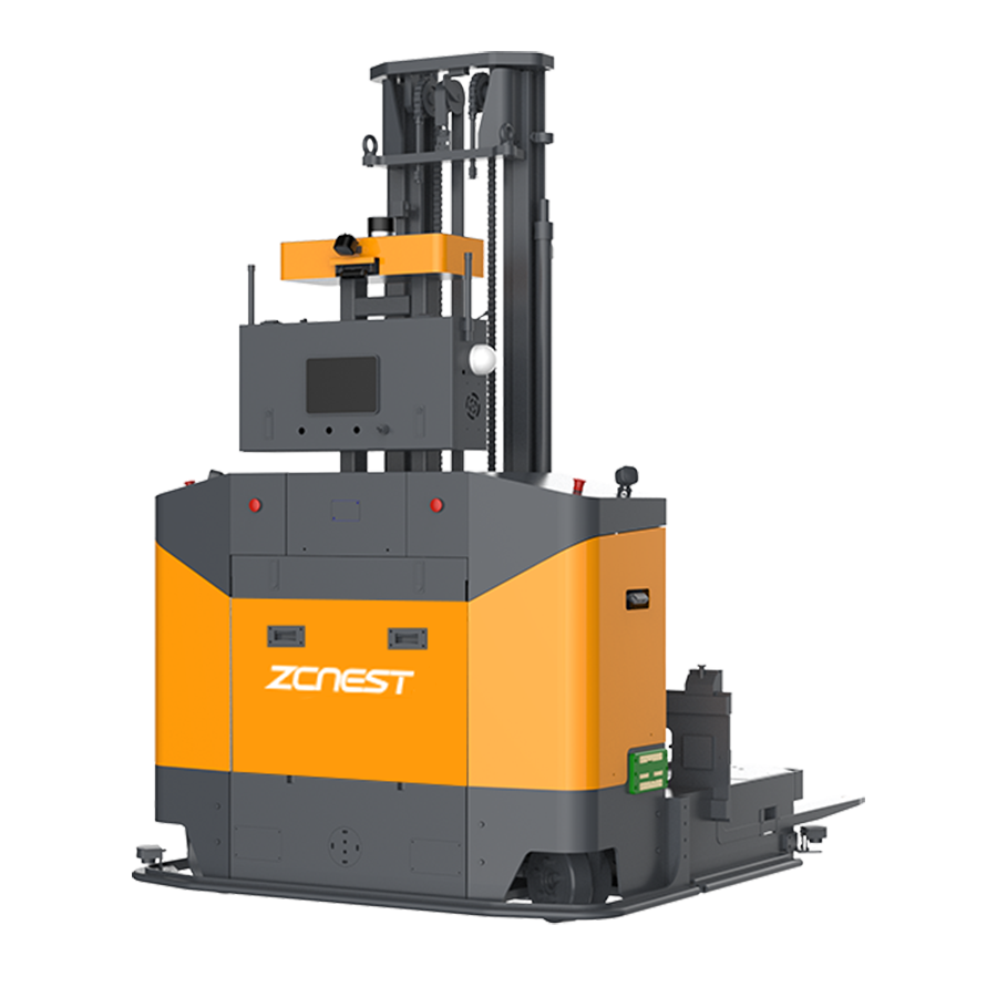
Most modern driverless forklifts, including the high-performance models at [en.zcnest.com], utilize LiDAR-based SLAM.
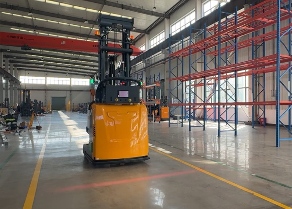
The Map Building: During the initial setup, the robot is driven through the warehouse. Its LiDAR (Light Detection and Ranging) sensors emit thousands of laser pulses per second, measuring the distance to walls, pillars, and fixed racks to create a high-definition 2D or 3D digital map.
The Localization: Once the map is stored, the forklift constantly compares its "real-time" laser scans against the "stored" map. By calculating the offset, it determines its exact coordinates within ±10mm accuracy.
Navigation is rarely reliant on a single sensor. To operate safely in a dynamic warehouse, the system fuses data from multiple sources:
LiDAR (Primary): For long-range spatial mapping and obstacle detection.
IMU (Inertial Measurement Unit): Uses gyroscopes and accelerometers to track the forklift's rotation and tilt, crucial for maintaining stability during sharp turns.
Encoder Odometry: Measures the exact rotation of the wheels to calculate distance traveled.
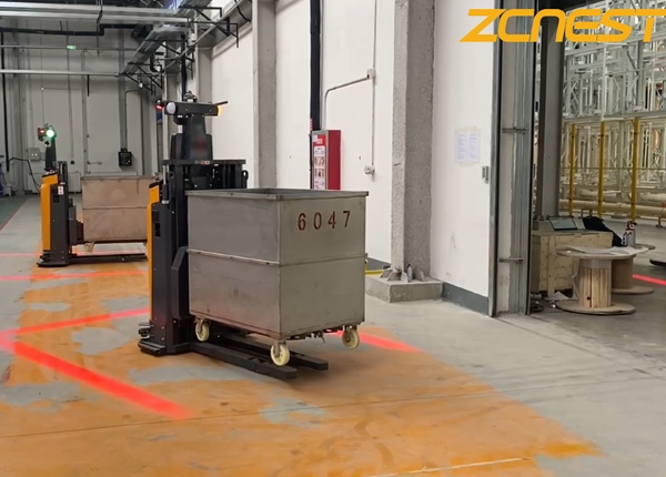
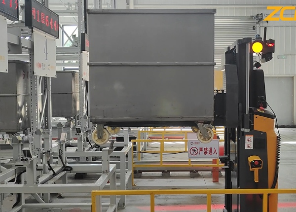
3D Depth Cameras (Computer Vision): Specifically used for Pallet Recognition. While LiDAR finds the rack, the camera "sees" the pallet pockets to ensure the forks enter with precision, even if the pallet is slightly skewed.
The navigation system doesn't just know where it is; it must decide how to get to its destination.
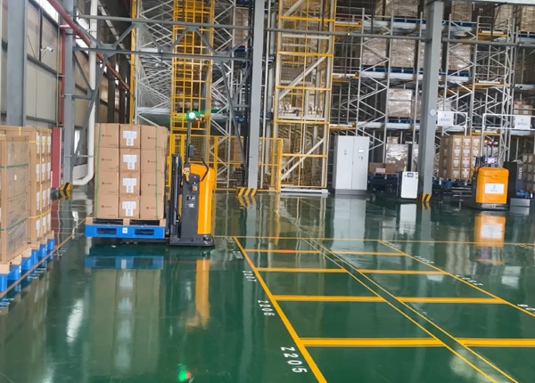
Global Planning: The Central Management System (CMS) assigns a task. The forklift calculates the shortest, most efficient route based on the digital map.
Local Planning: If a human worker or a stray pallet blocks the "Global" path, the forklift's on-board AI performs real-time re-routing.
VDA 5050 Protocol: This is the industrial "language" used to ensure different brands of automated vehicles can navigate the same floor without collisions or traffic jams.
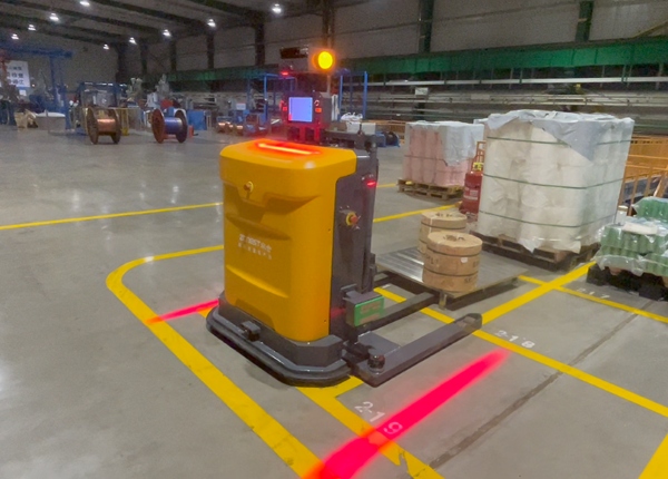
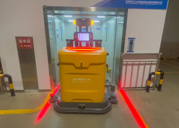
Navigation and safety are inextricably linked. The system maintains three distinct "zones" around the vehicle:
Warning Zone: The forklift slows down and emits an audible/visual alert if an object is detected within 3-5 meters.
Slow-down Zone: Speed is reduced to a crawl (e.g., 0.3m/s) as the object gets closer.
Emergency Stop Zone: If an obstacle enters the immediate safety field (typically within 0.5 - 1 meter), the navigation system triggers a Category 3 SIL2 hardware-level stop, bypassing the software to ensure immediate braking.


 Chinese
 English